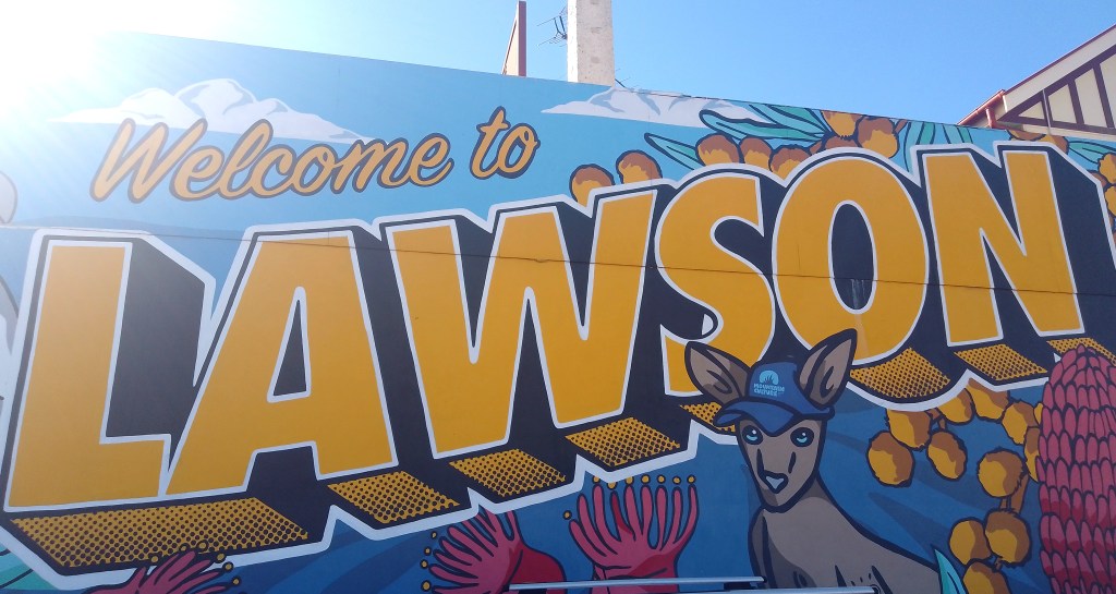
This small village in the Blue Mountains – west of Sydney – has a population of around 3,000 and is named after the explorer William Lawson – and not the poet Henry Lawson, as some might think.
Now, I’ve driven past this town many times over the years but had never stopped there to look around. However, having found a couple of strange anomalies on Google Maps in this vicinity, I decided it was time to pay Lawson a visit – with the intention of unravelling these mysteries.
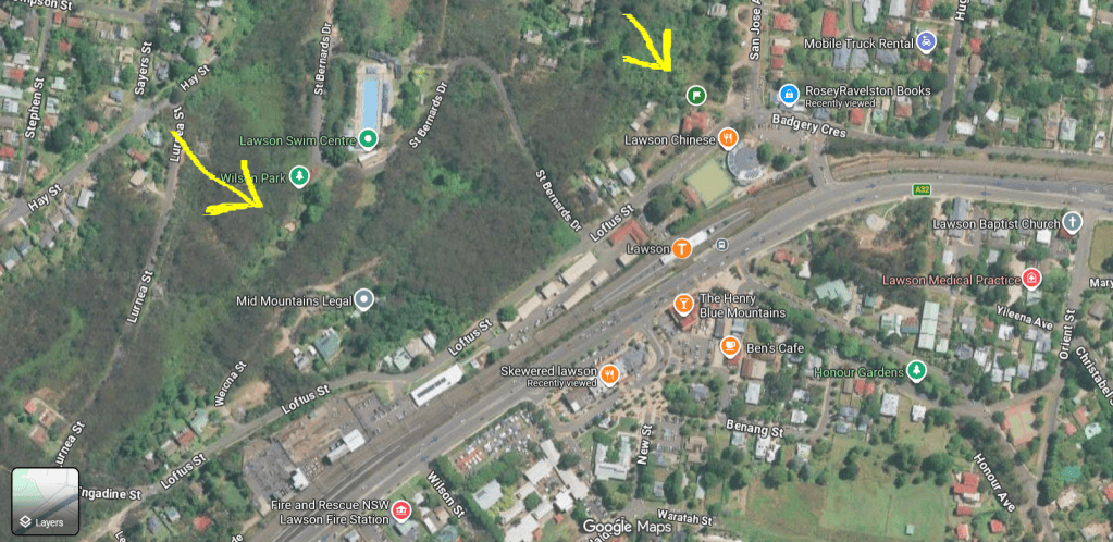
The first location is a tower-like object that from above resembles the last remaining section of an old castle.
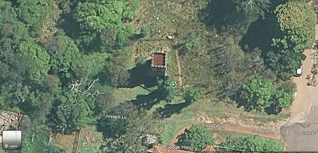
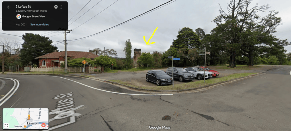
And here it is…
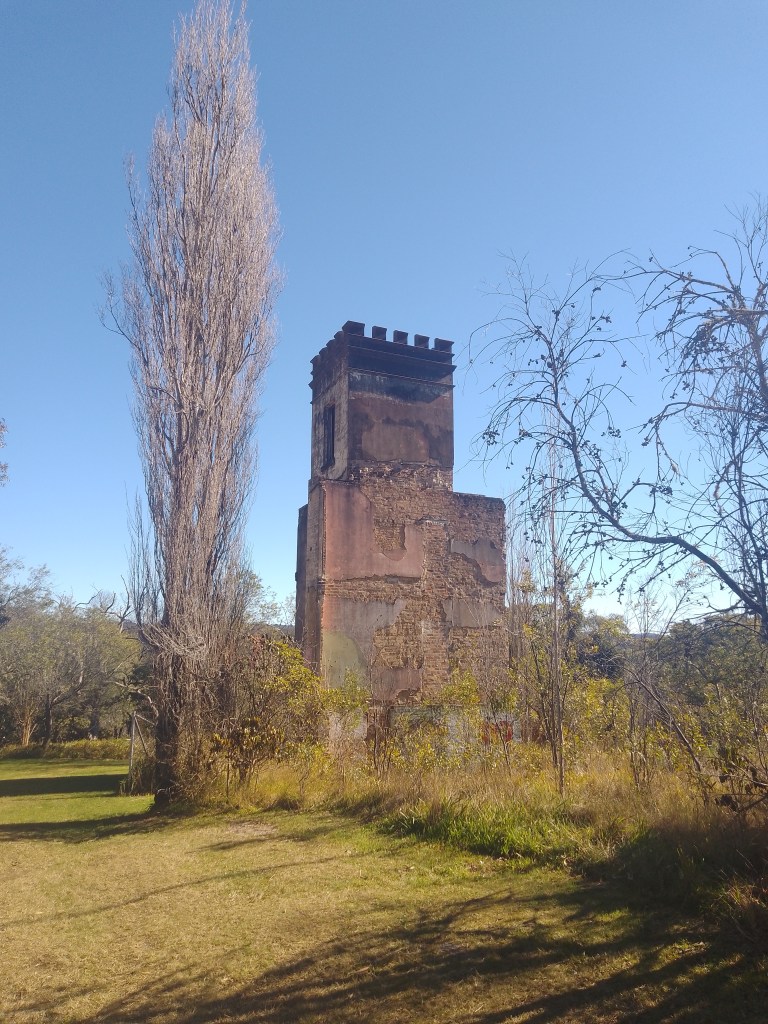
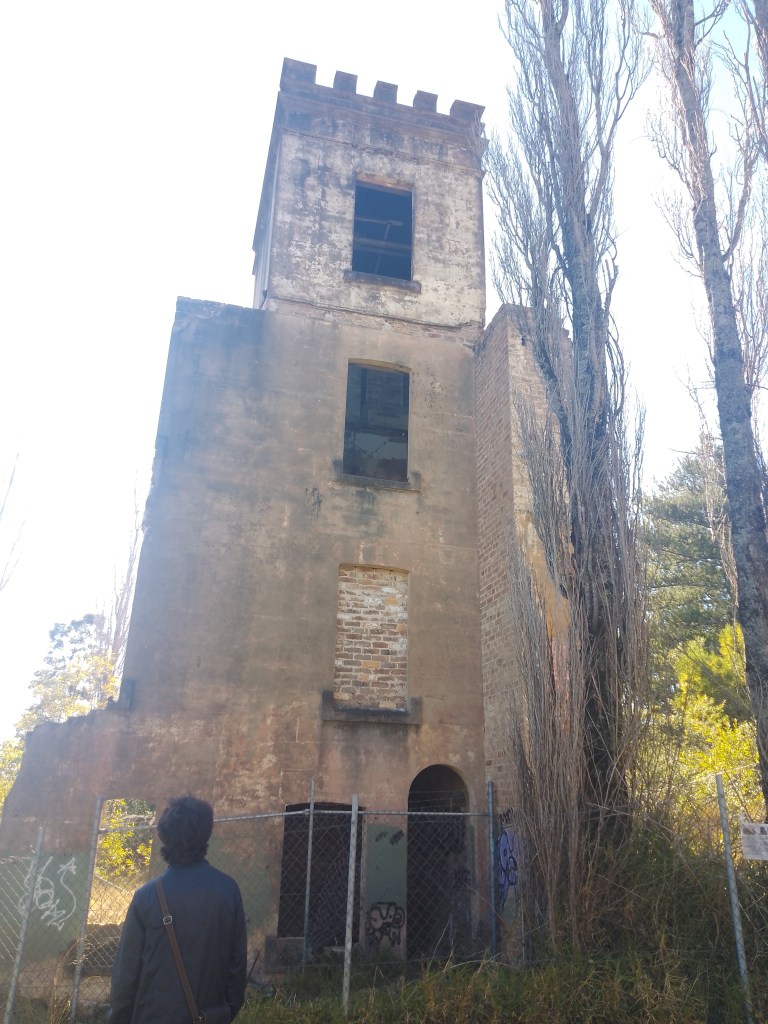
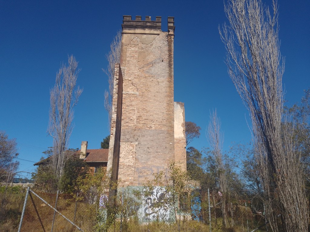
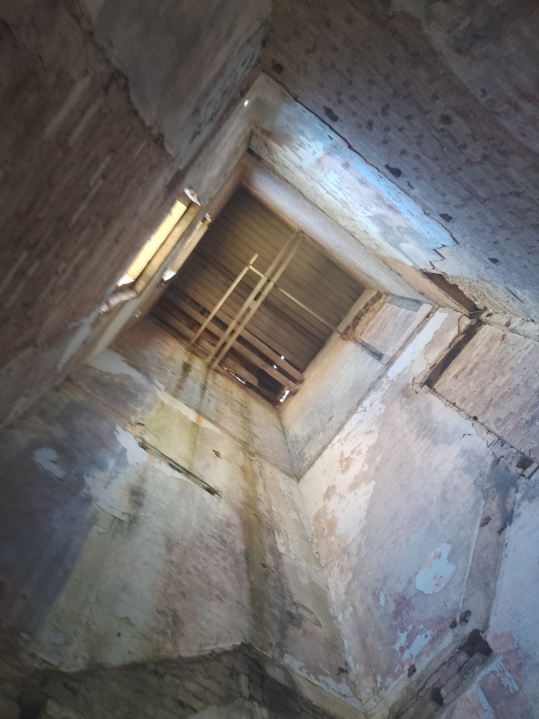
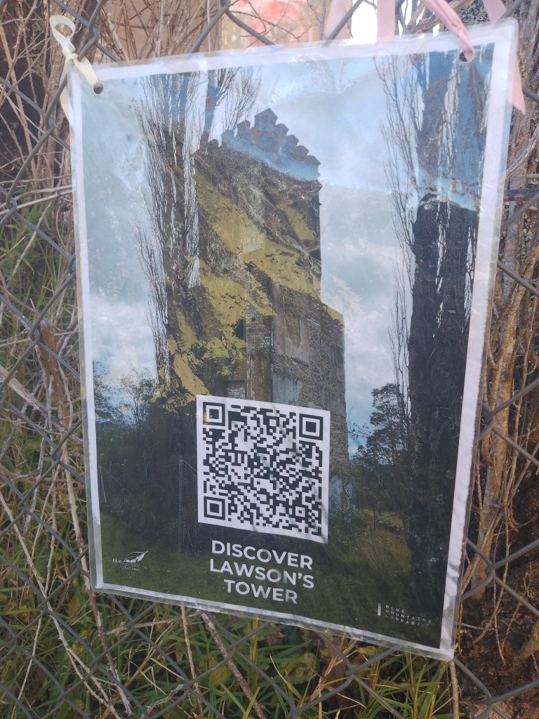
This is actually a well-known local landmark – and according to the sign (see photo below) is called ‘Lawson’s Tower.’ It was once part of a guesthouse called ‘San Jose’ which was built in 1879, before becoming the Stratford Girl’s School in 1915 and operated as such until the 1960’s. Sadly, the building was gutted by a major fire in June of 1980.
My understanding is that the burnt-out tower was to be demolished in the early 1990’s, but the locals rallied to save what was left of the historic school and as a result the tower is still standing today.
And now onto the other point of interest: – the shape of Australia located in one of the local parks.
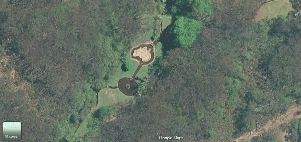
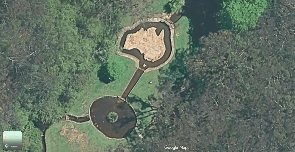
And this is how it looks from ground level…
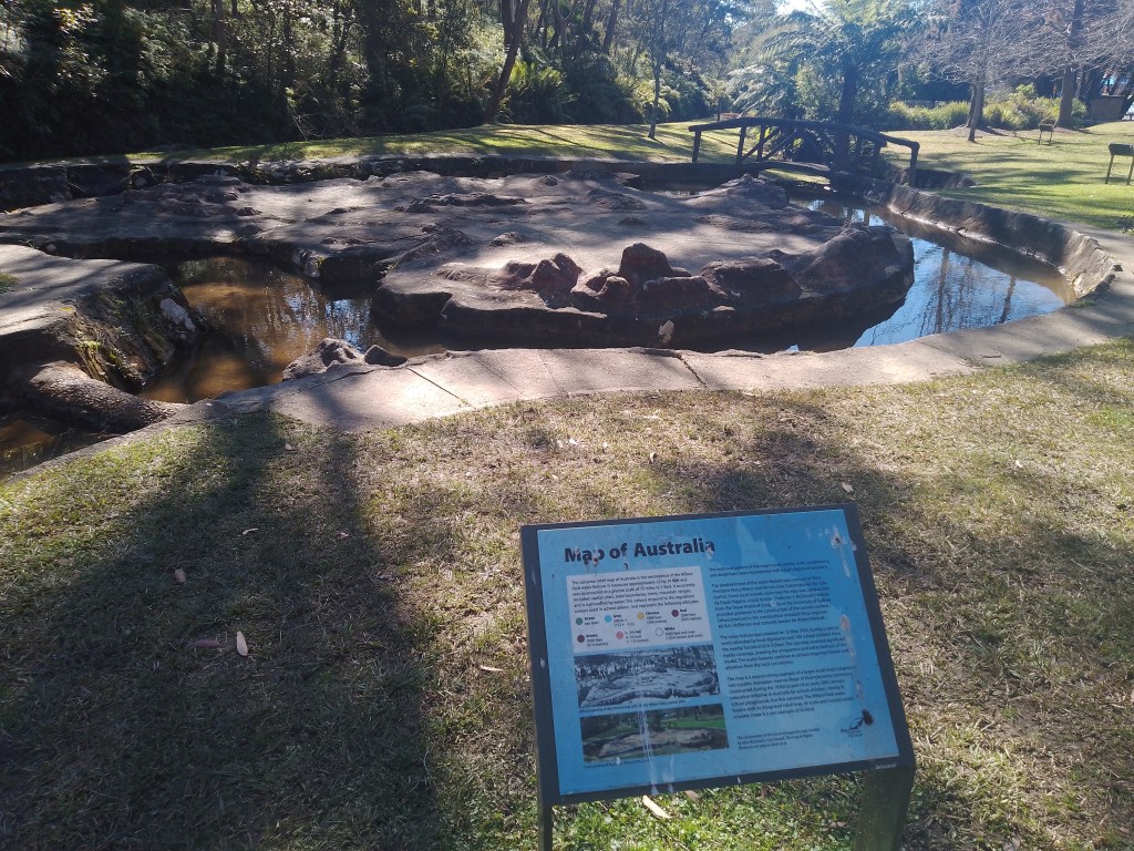
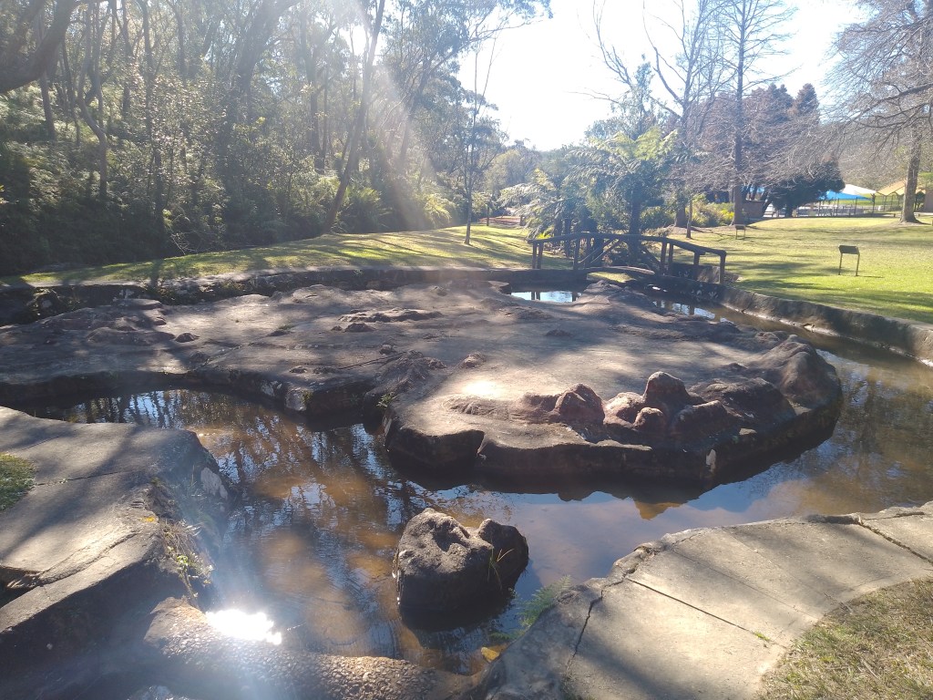
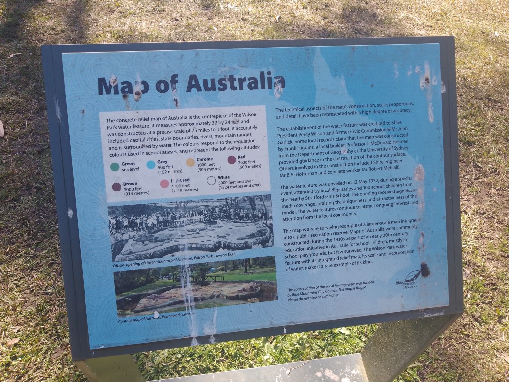
According to the sign, this map was built in 1932 – and apparently a lot of these were erected around the country in parks and public spaces, but only a few remain today. This one is still in pretty good nick, I have to say – and I’m glad I went to check it out!
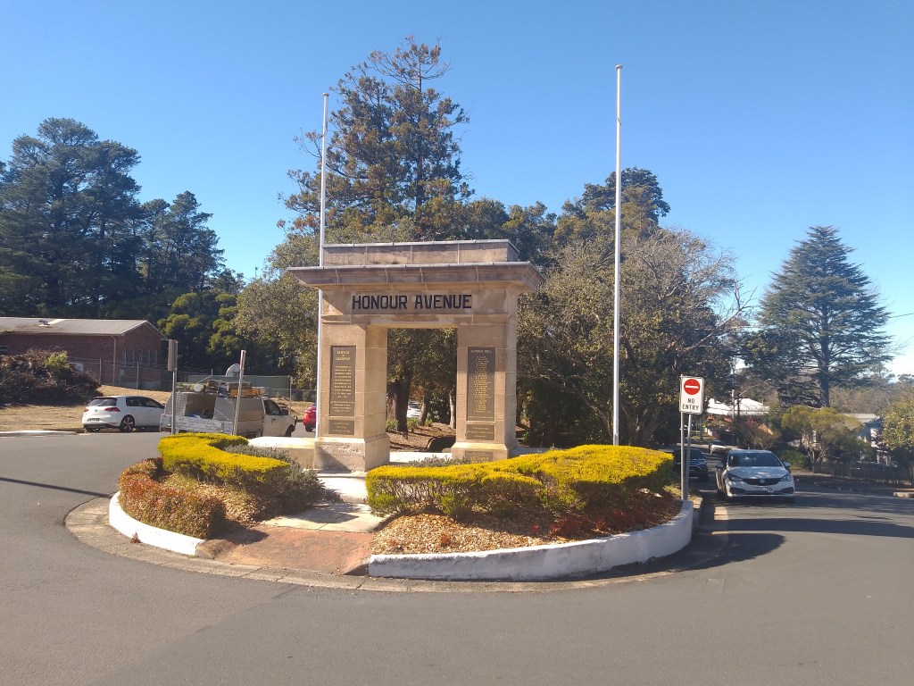
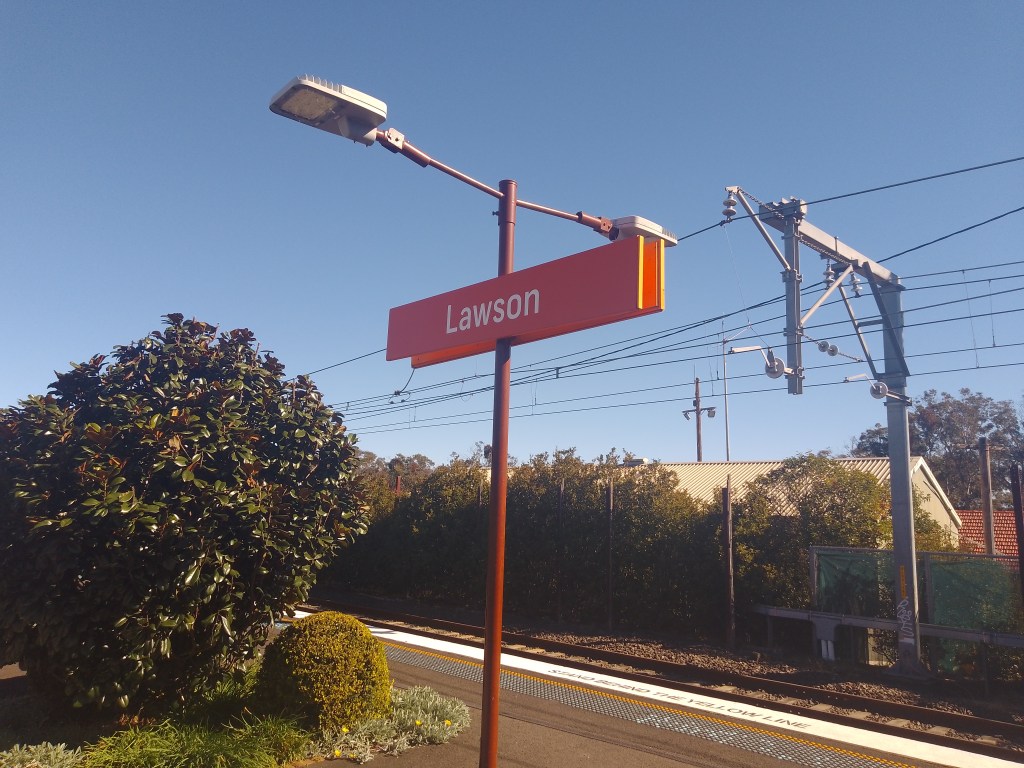
There’s a lot more to Lawson than the two odd attractions that lured me there, and I ended up spending a few hours in the town – browsing at the local bookstore and trying out a couple of the eateries. It’s a very nice place and well worth calling in to explore around – and catching a train there from Parramatta took just over an hour.
You can find out more information about Lawson at the link below.
Screenshots courtesy of Google Maps