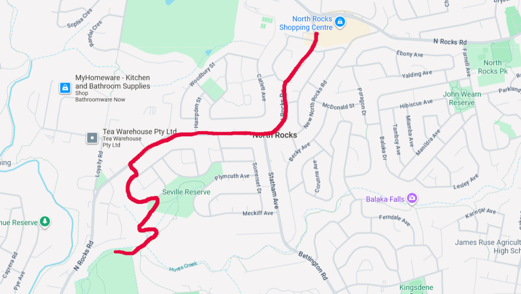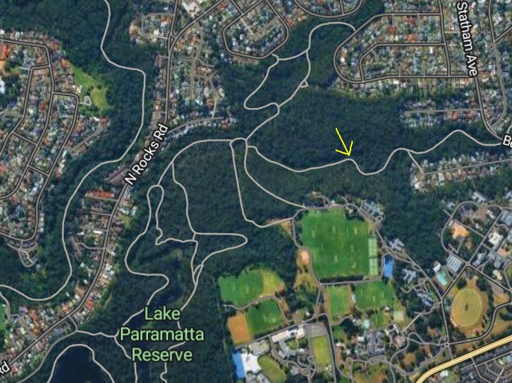
The enigmatic Crocs Cave was brought to my attention a week ago, having noticed it for the first time on Google Maps – which was odd because I study these areas regularly and had not seen this marker before.


With Google, Apple and Randonautica all showing this location on their maps, I felt compelled to take on the bush trails around North Parramatta to solve this mystery once and for all.

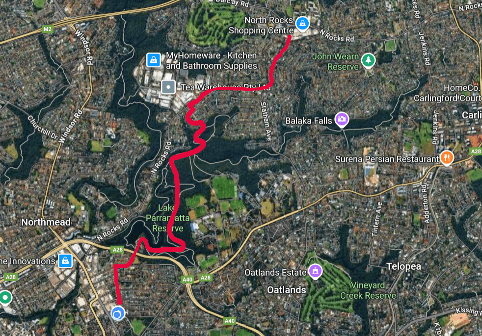
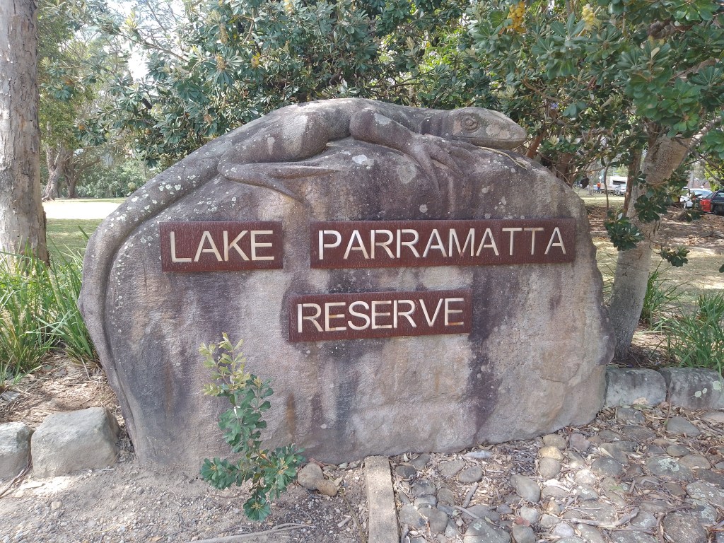
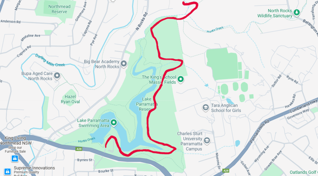
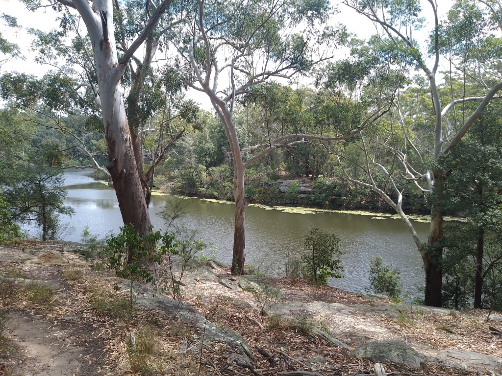
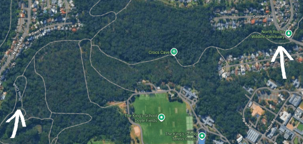
I began my quest at Lake Parramatta, and made my way to the northern tip of the water (see photo below) before heading east into the King’s School Grounds.
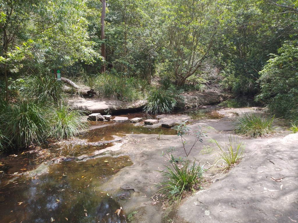
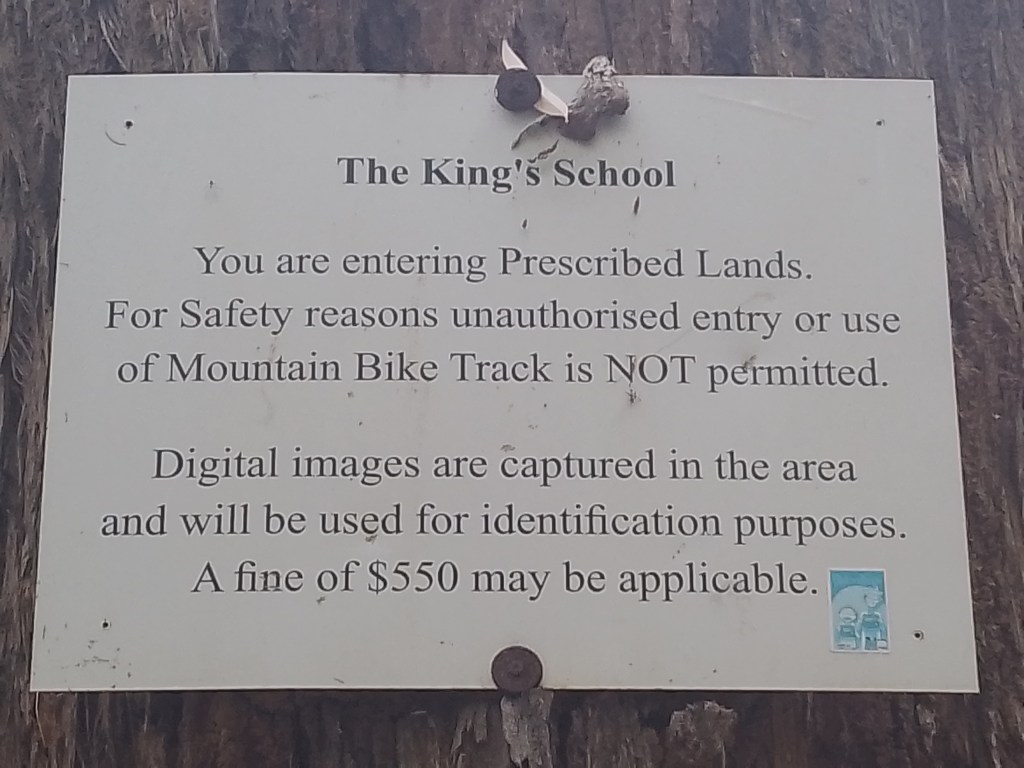
At this point, it is the same route that I took on my previous walk to North Rocks, but a different path would be needed once having reached the private school’s property.

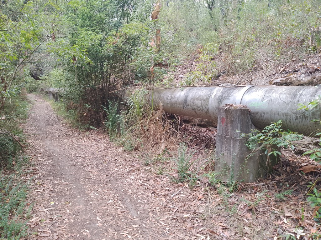
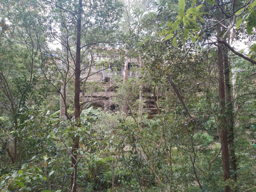
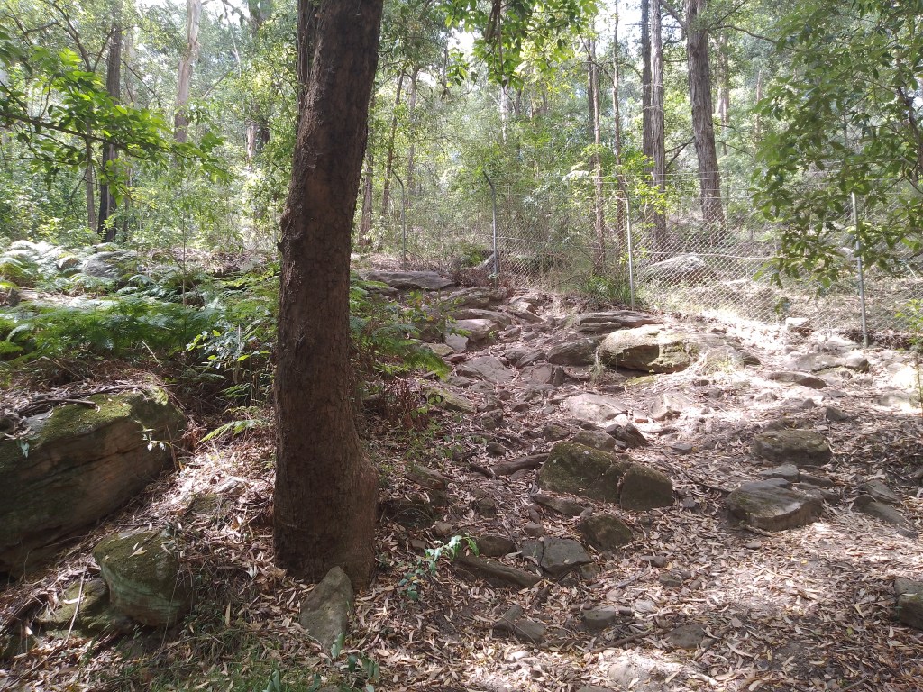
As you can see in the above shots, this ended up being a well-worn path – not a battle through thick bushland as I expected. And with such a flat and easy track to walk on, it did not take long to reach the mysterious Crocs Cave*.
*Note: For the sake of consistency, I will spell the location as ‘Crocs Cave’ – and not ‘Croc’s Cave’ – as this is how it is represented across multiple maps.

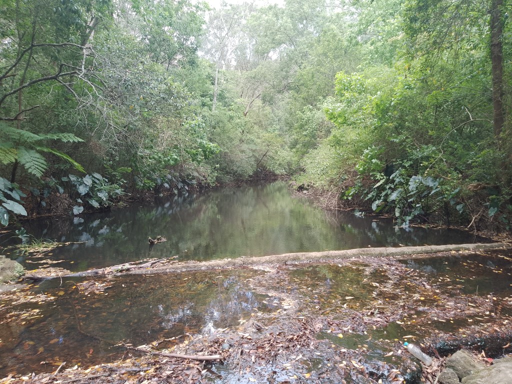
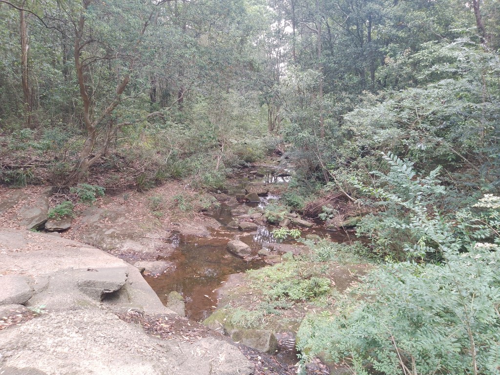
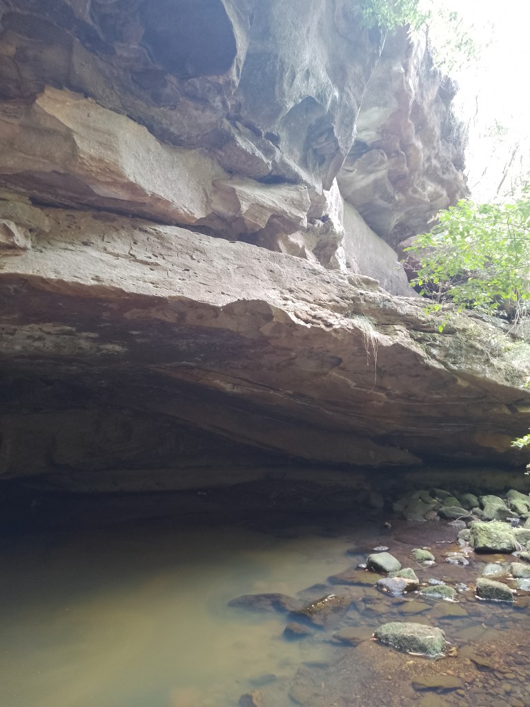
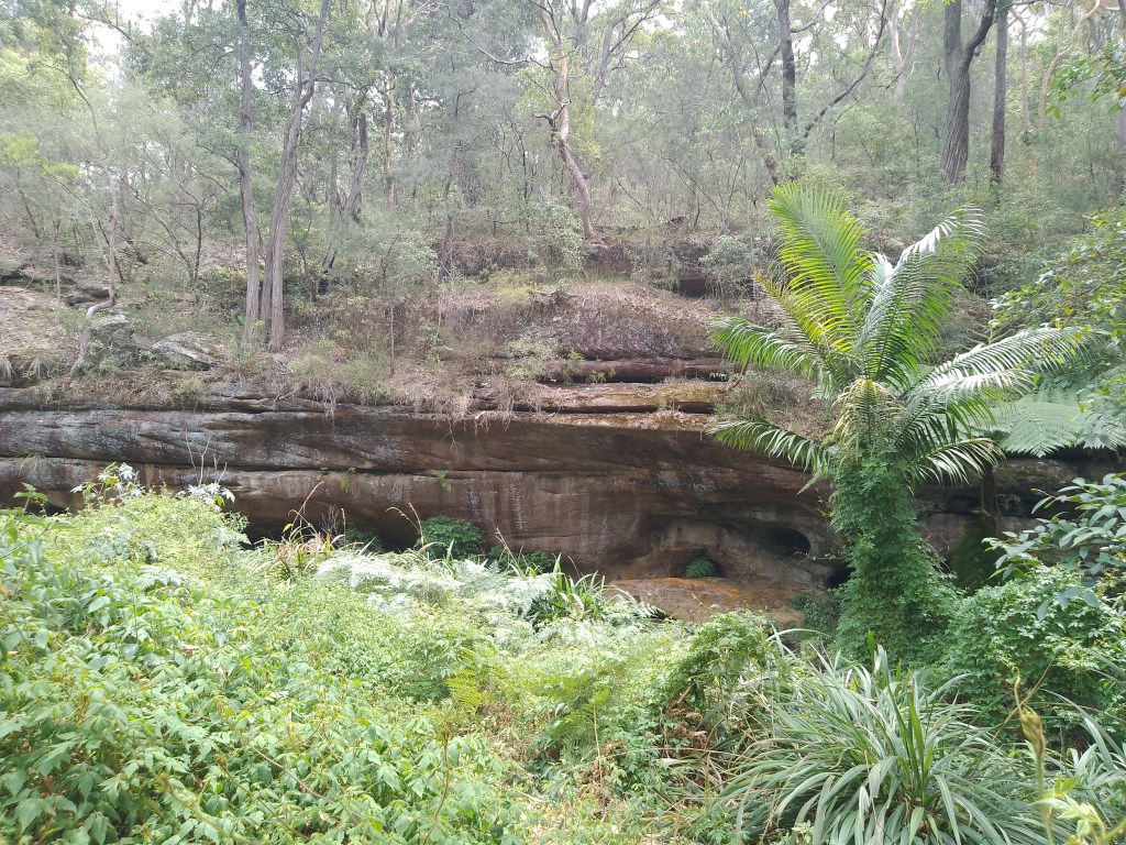
And as simple as that, I can confirm that this is a real place.
To be fair, there are caves – and then there are caves, right? Most of the bushwalks around Parramatta do feature small caverns where the lower part of a rock face has been hollowed out, but these are not ‘caves’ – so I wasn’t expecting to find The Mines of Moria.
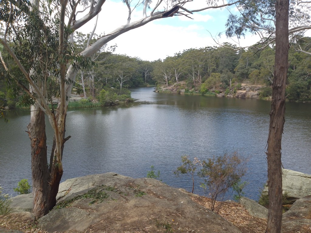
However, Crocs Cave was better than I expected, and would be a great place to take a rest before continuing on with the track – but be mindful that a large pool of water takes up most of the area here, so one would need to jump across to reach the drier spots.


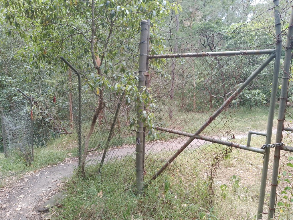
I continued along the path towards the lower part of North Rocks, and there were no major difficulties here – although it may have been fenced off at one point, but those barriers now have gaps wide enough to drive a car through.
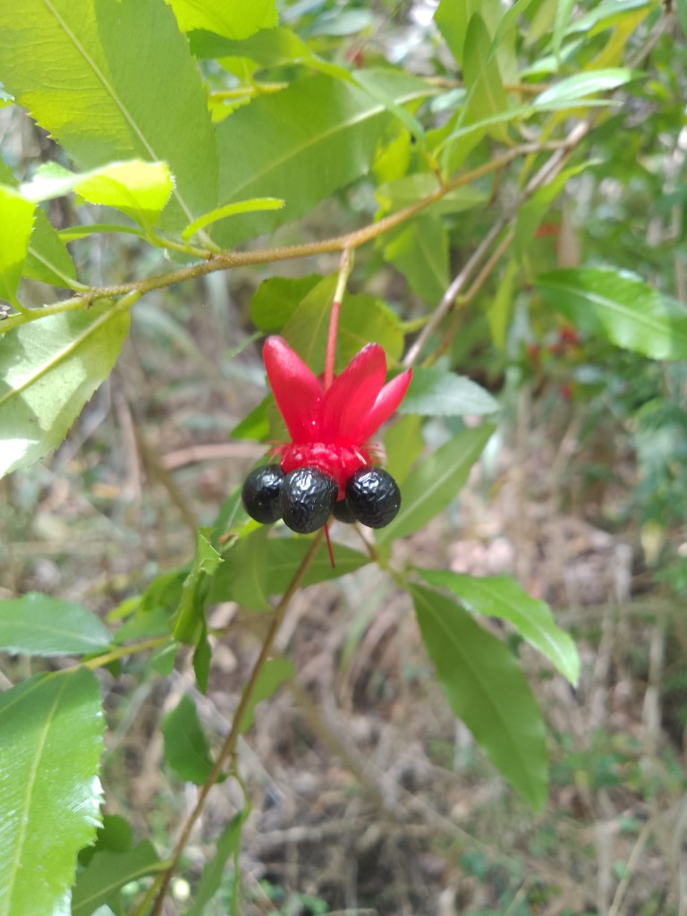
The trail is also littered with these colourful plants, which at first glance I thought were Sturt’s Desert Pea – until closer examination. They are in fact Ochna thomasiana – better known as Mickey Mouse Plant – and are native to parts of Africa but considered an invasive weed here.
If you do want to go off-track in these parts, please be wary of snakes because the foliage was thick and tall – and some were bound to be present. Make sure you create enough noise – stamping your feet and so forth – to frighten any of these buggers away.

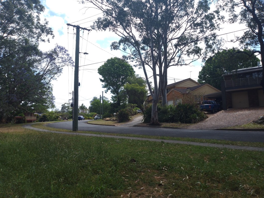
The Crocs Cave track ends at the base of the big dipper on Bettington Road, North Rocks – where Pennywise the Clown might feel at home.


Directly across the street is the beginning of a new walking path – North Rocks Wildlife Sanctuary – which can link up to the Balaka Falls track before making its way to Carlingford.
There’s a good chance this will be my next assignment.
The Crocs Cave track is a good walk – and not too physically challenging – and can be accessed at either the northern end of Lake Parramatta Reserve or on Bettington Road at the bottom of the steep dip.
All map screenshots are courtesy of Google, Apple and Randonautica.